

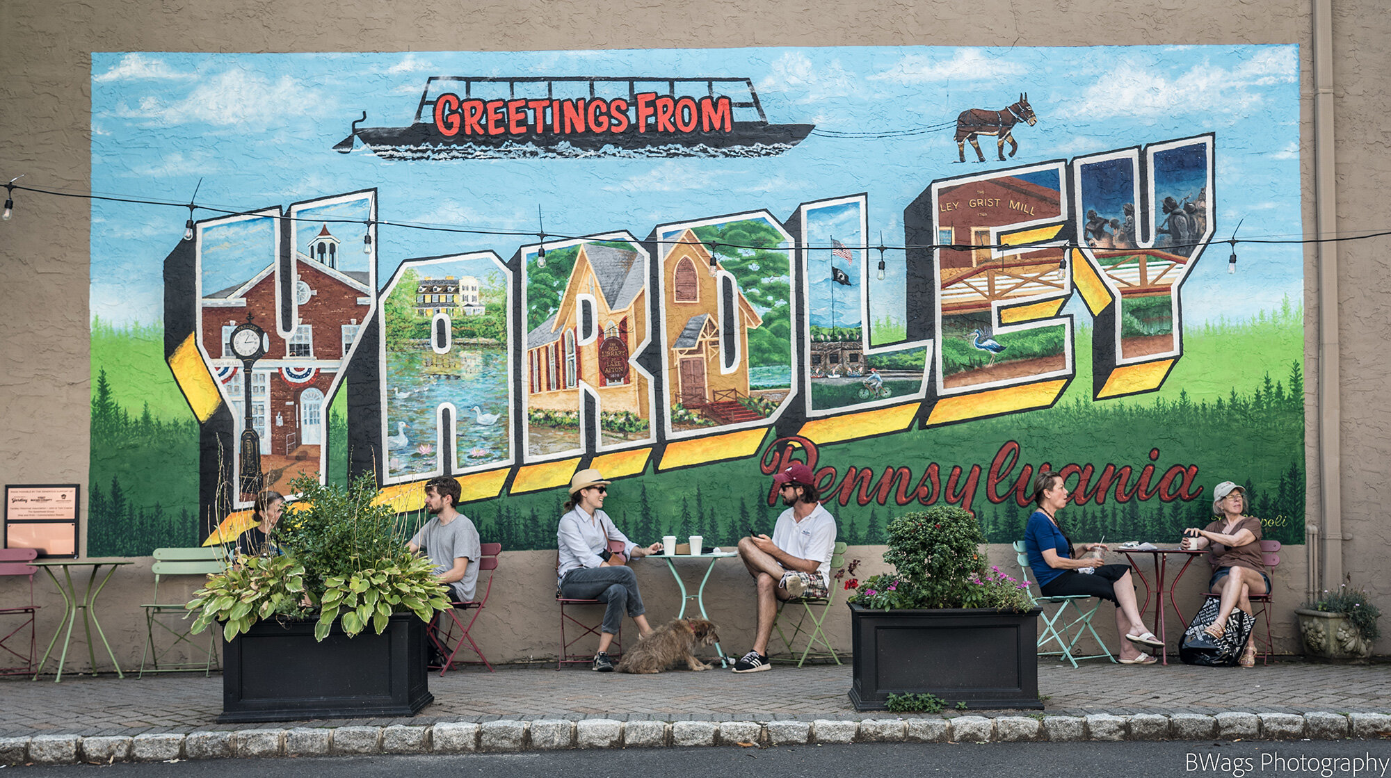
Welcome to Yardley Borough
Yardley, Pennsylvania 19067
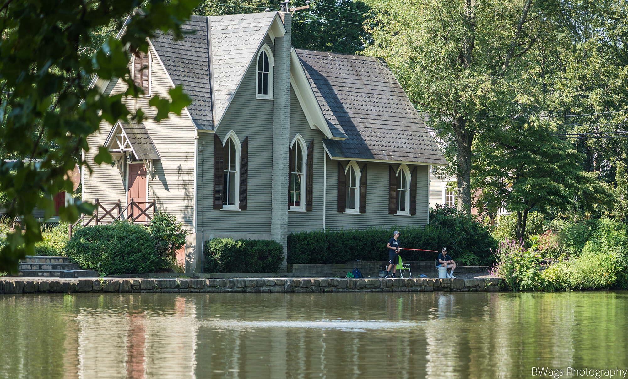
Good Neighbors Since 1682
Yardley was settled by William Yeardley (as the name was then spelled), a Quaker minister seeking religious freedom who emigrated to America from England with his wife, three sons and a servant in July 1682. Before leaving England, he made an agreement with William Penn to purchase a 519-acre tract for ten pounds sterling. He settled on Dolington Road and built a log cabin and later a stone house called "Prospect Farm". The Yardley family occupied the land for more than 150 years.

Resident Information
If you are a resident of the Yardley Borough find out all relevant information from Trash pickup, General Resources, Elected Officials, Code of Ordinance, and more.
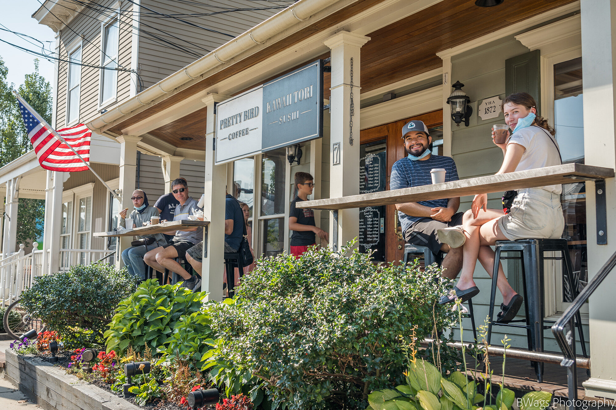
Doing Business in Yardley
Yardley Borough is a very business friendly community. Our Borough staff and Council have the goal of “getting to yes” to help our existing businesses prosper and to support new businesses join our vibrant downtown. Whether it’s business permitting, code requirements, signage or historical review, Yardley stands ready to facilitate commerce in our community.

Borough Directory
Keep up to date with all Borough staff, announcements and events.

Selling or renting your property?
Download the form below and submit your application.
“If your business is right for Yardley, we’ll make Yardley right for your business.”
Trash Pickup Schedule
Republic Services is the contracted trash hauler in Yardley Borough collection days are Wednesday Trash and Recycling Saturday Trash and Bulk.
2024 Borough Activities Calendar
Farmers Market at Buttonwood Park - May 4th-December 21st
Easter Egg Hunt at Buttonwood Park - March 30, 2024
Carry the Load - May 1st
Yardley 5k - June 2nd
Main Street Mile - May 27th
Memorial Day Parade - May 27th
Music on Main - Saturdays June 15th- August 17th
Friends Flea Market - September 7th
Harvest Day - September 21st
Halloween Parade -
Canal-O-Ween - October 27th
Christmas Parade- December 7th
Hanukkah Village and Menorah Lighting- December 29th
Contact
Feel free to contact us with any questions.
BOROUGH OFFICE
215-493-6832
215-493-6255 Fax
Paula Johnson, Manager/Borough Secretary
Monday through Friday, 8:00 a.m. to 3 :00 p.m.